Project Description:
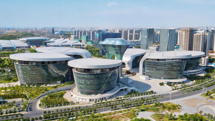
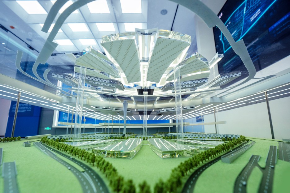
Located in the northwest zone of the Urumqi Cultural Center in Shuimogou District, the Urumqi Urban Planning Exhibition Hall is a major civic and cultural institution dedicated to communicating the city’s past, present, and future. With a total exhibition area of approximately 18,000 square meters distributed across four levels, the project serves as a comprehensive platform for public engagement with urban development.
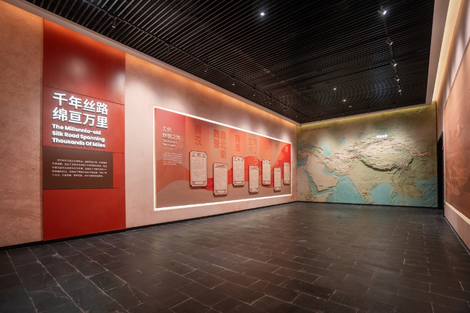
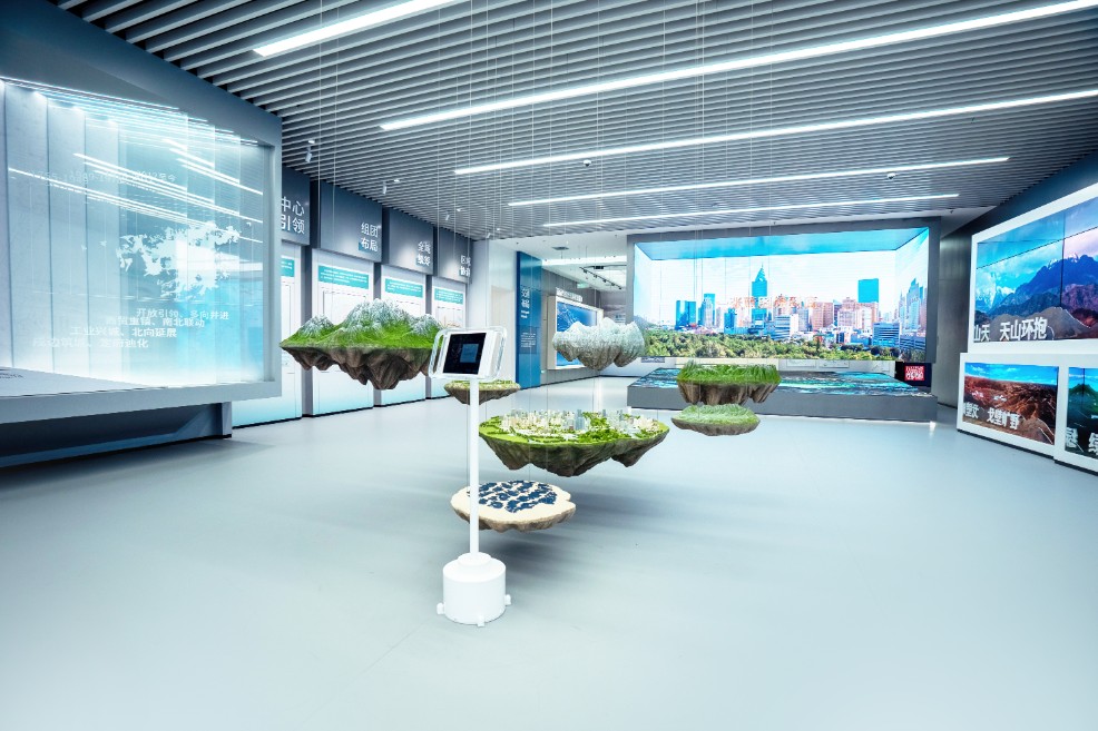
The exhibition constructs a coherent narrative of Urumqi’s urban evolution, anchored in its strategic vision as a “modern international city.” It presents the city’s achievements in implementing contemporary regional development strategies, while articulating a forward-looking master plan that integrates ecological, cultural, and infrastructural systems.
Experience & Spatial Narrative:
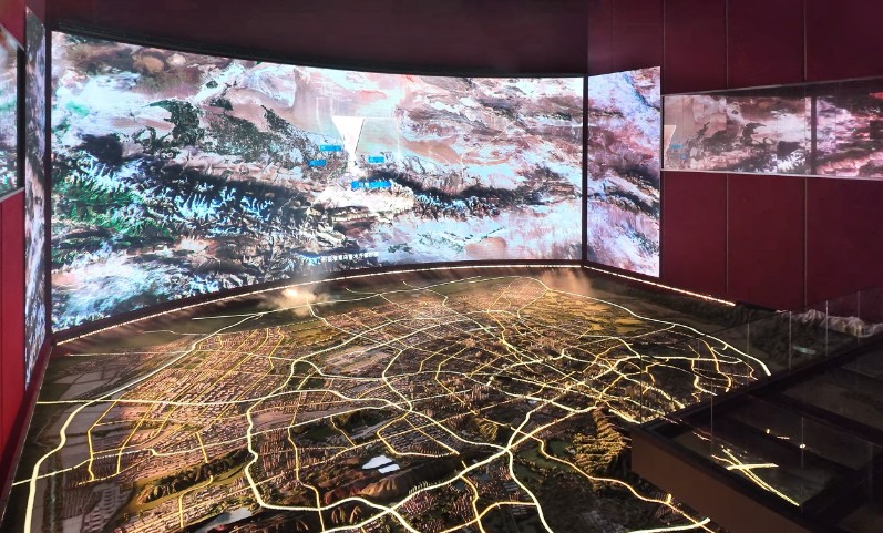
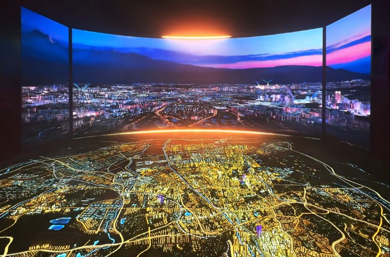
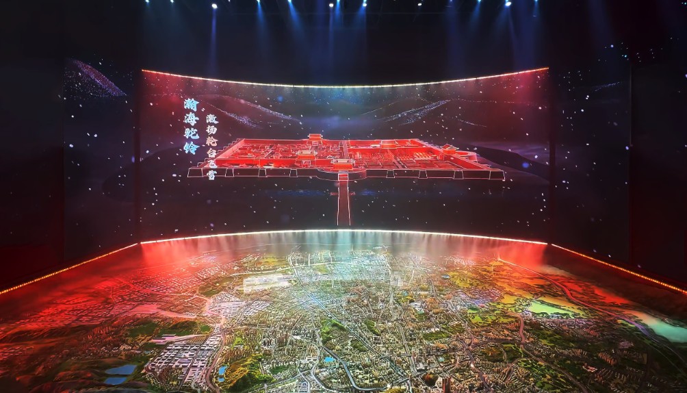
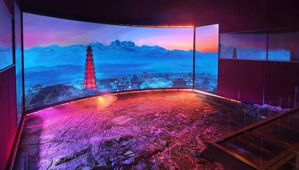
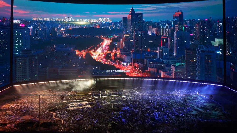
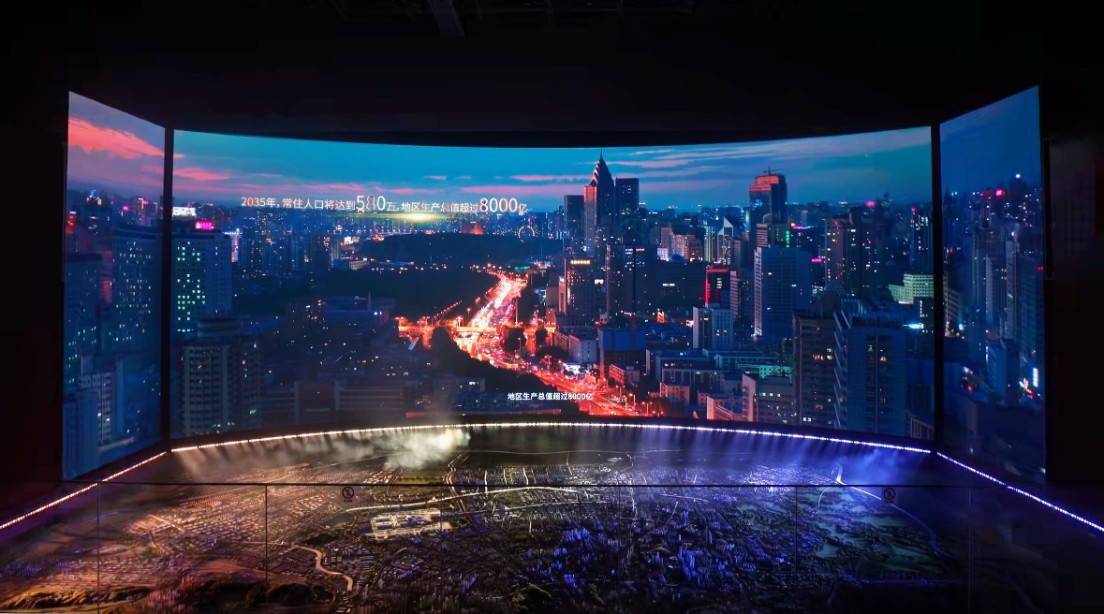
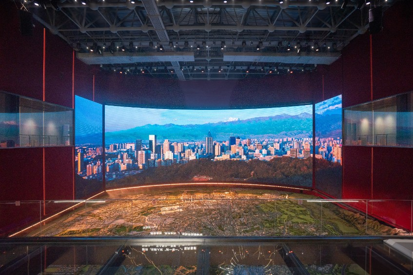
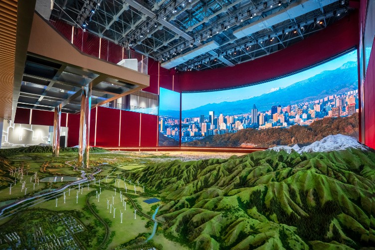
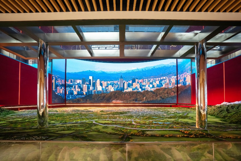
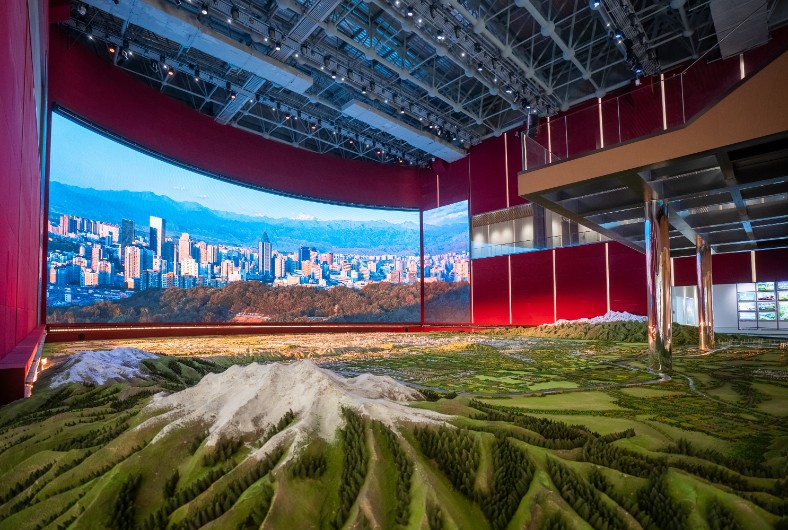
The spatial journey culminates on the fourth-floor viewing platform, where visitors encounter a large-scale city model offering a panoramic reading of Urumqi. The experience brings together natural landmarks—such as the Bogda Peak and Nanshan grasslands—with the city’s expanding urban fabric, blue-green ecological networks, and emerging metropolitan core.
An immersive finale film, “A Modern International City in the Core Area of the Silk Road Economic Belt,” synthesizes the exhibition narrative, conveying Urumqi’s ambition to evolve into a people-centered and globally connected city. The film acts as both a conceptual anchor and an emotional climax, leaving visitors with a resonant vision of the city’s future.
Design Innovation & Technology Integration:
At the core of the project is the integration of two advanced technological systems that redefine how urban planning is visualized and experienced.
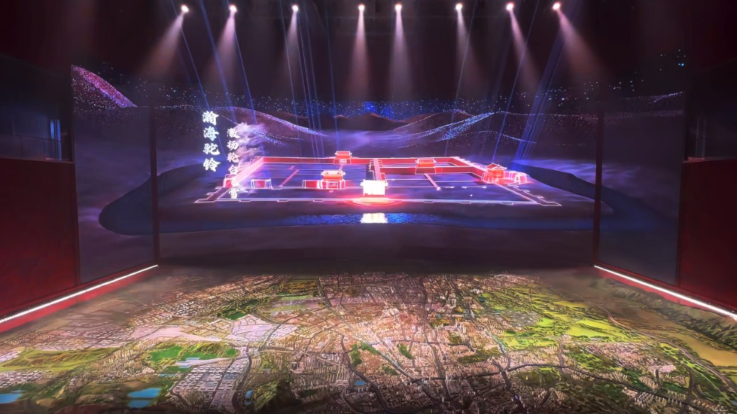
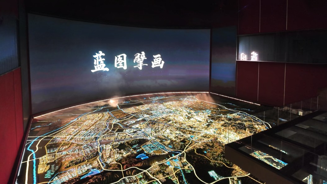
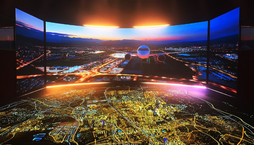
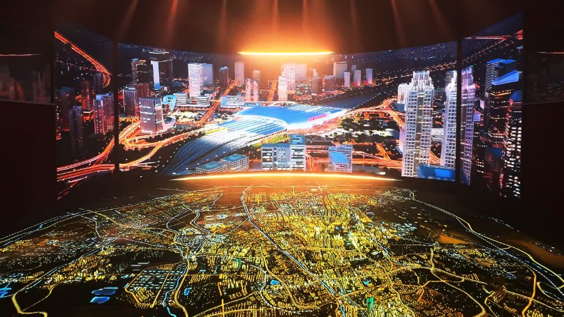
The laser projection system operates in synchronization with the narrative media, precisely mapping dynamic trajectories onto the physical city model. It incrementally delineates urban contours, transportation networks, and the boundaries of eight key development zones. Through light as a drawing medium, the otherwise abstract logic of urban growth becomes legible and intuitive.
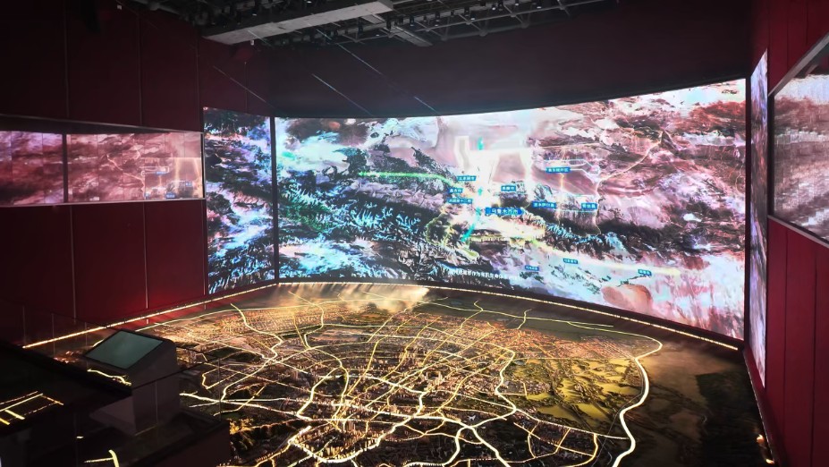
Complementing this, an aerial cable camera system moves along a predefined track above the model, capturing high-resolution, real-time imagery of the miniature environment. This live feed is seamlessly integrated with a digital twin system, generating dynamic urban visualizations on a large-scale curved screen. The result is a fluid transition between physical and virtual realms, enabling visitors to shift perspectives—from ground-level observation to aerial overview—in a continuous spatial experience.
Key Installation: Master Plan Model with Cable Camera & Digital Twin Screen:
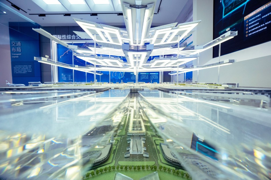
The central urban model has undergone a comprehensive refinement, with recalibrated proportions of transportation systems, spatial hierarchies, and key districts. This meticulous reconstruction ensures that both the geographical identity (“landscape form”) and the planning logic (“design intent”) are clearly expressed within a unified scaled representation.
By merging physical modeling with real-time digital simulation, the installation transcends conventional exhibition typologies. It functions simultaneously as a planning tool, a storytelling medium, and a symbolic artifact—projecting Urumqi’s ambition to become a modern international city while embodying the intersection of its historical legacy and future vision.
Project Significance:
The project redefines the role of urban planning exhibitions in the digital age. Rather than presenting static information, it creates an immersive, multi-sensory interface between citizens and the city. Through the convergence of narrative design, advanced visualization technologies, and spatial choreography, the exhibition transforms complex urban strategies into an accessible and emotionally engaging public experience.